Badlands National Park is a national park in southwestern South Dakota that covers 242,756 acres of sharply eroded buttes, pinnacles, and spires, and a largely undisturbed mixed grass prairie in the United States.
The park's highest point is 3,340 feet (1,020 m).
Originally authorised as Badlands National Monument on March 4, 1929. It was re-designated a national park on November 10, 1978.
 |
| Bighorn Sheep |
 |
| Prairie Dog |
 |
| In the middle of nowhere in a bar in the Town of Scenic we met another Colombian! |
 |
| The Bar in Scenic |
 |
| This Car never left the Badlands! |
South Dakota Highway 87 is a highway running through the Black Hills of South Dakota. The road's northern end is U.S. Route 16 and U.S. Route 385 about 3 miles (4.8 km) south of Hill City. The road's southern end is U.S. Route 385 about 6 miles (9.7 km) east of Pringle, or 14 miles (23 km) north of Hot Springs.
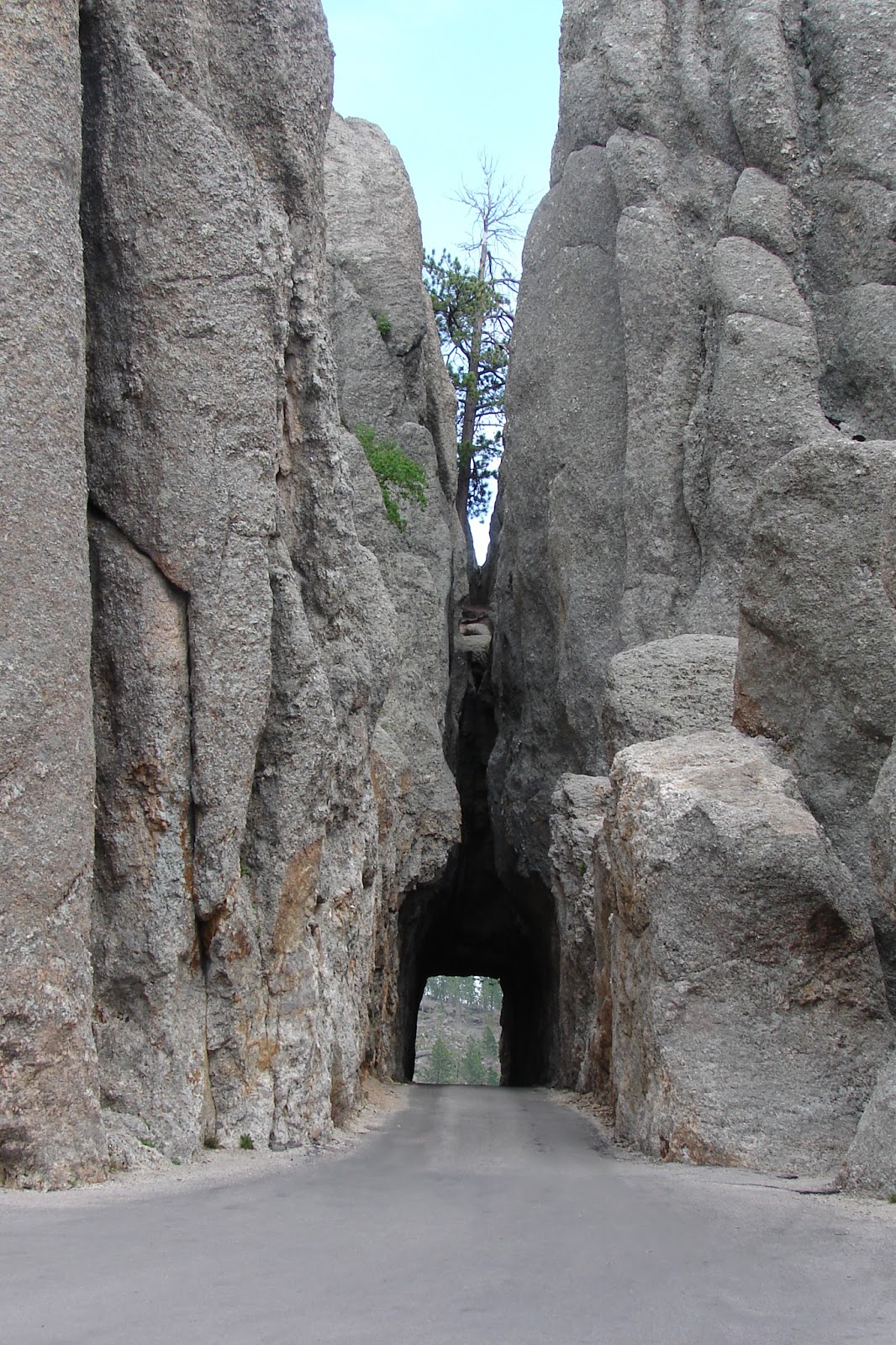
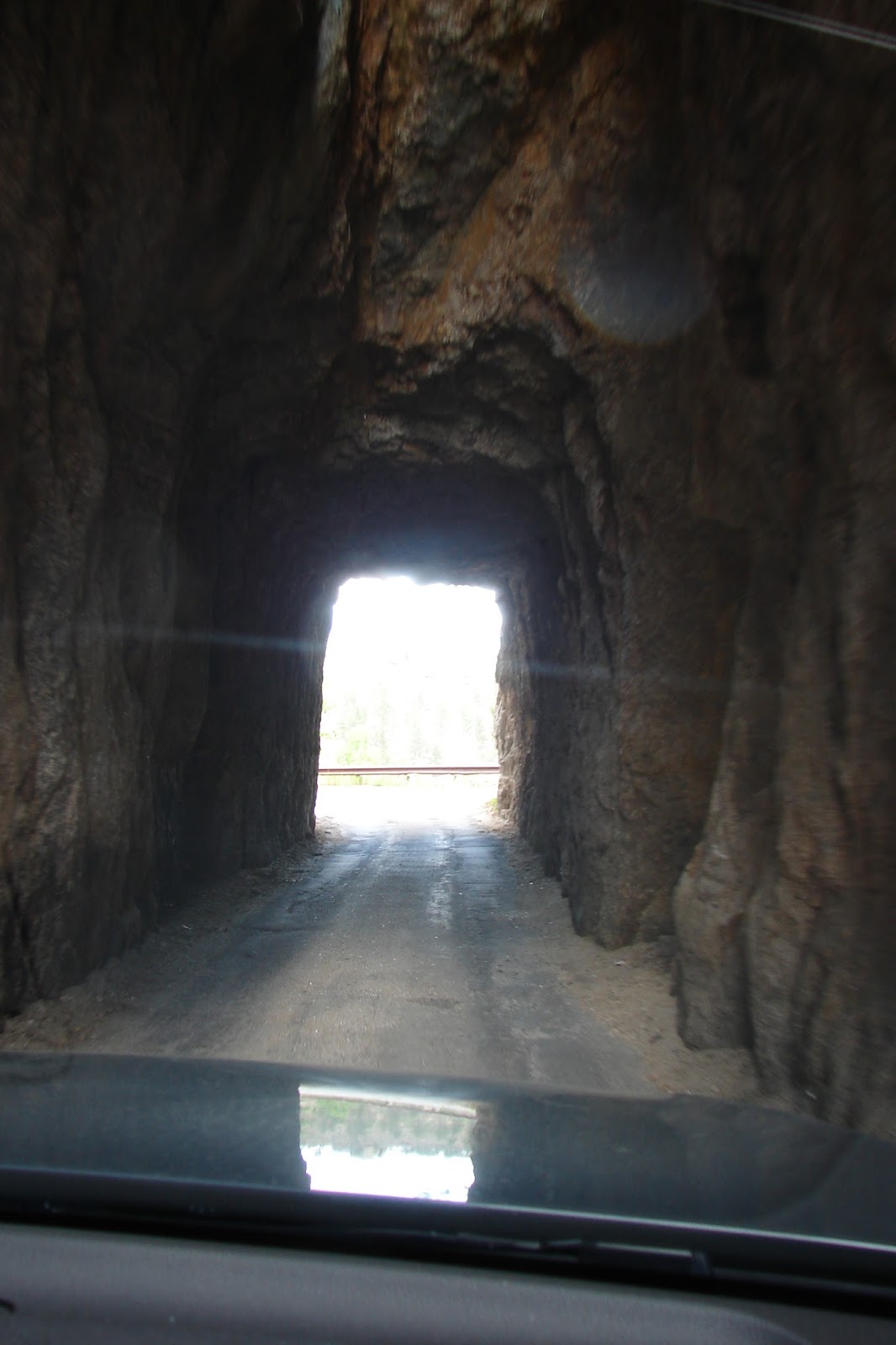
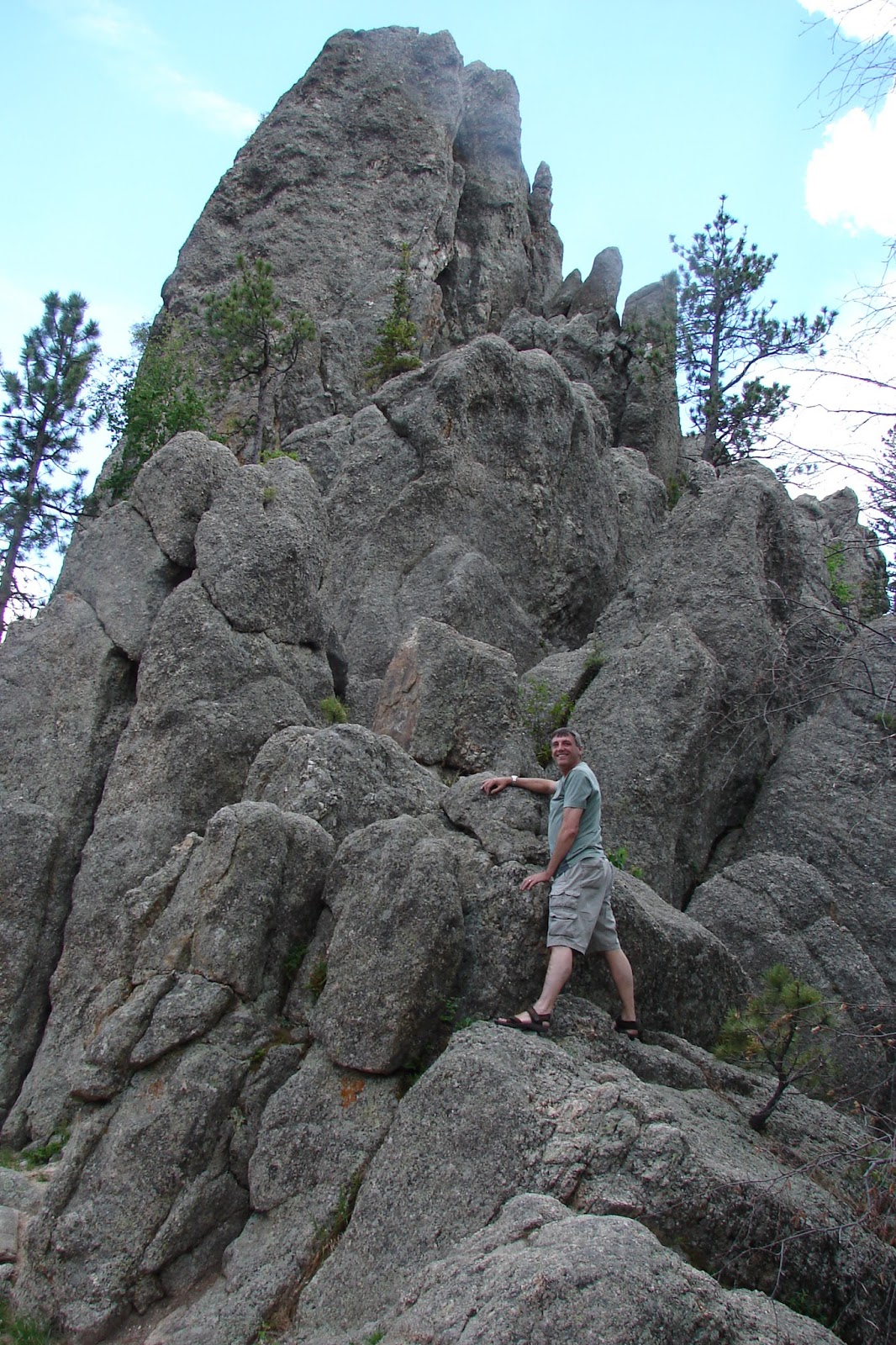
The highway passes through Custer State Park. The northern 14 miles (23 km) of the highway is also known as the Needles Highway.
The highway is named after the high granite "needles" it winds among. Access to the Needles Highway requires a Custer State Park entrance license, making that portion of SD 87 a toll road. The highway passes through two tunnels blasted through sheer granite walls—Iron Creek Tunnel at mile 25 (40 km), and Needles Eye Tunnel at mile 31 (50 km). Due to the narrow roadway, sharp turns, and low tunnels, the road has very little traffic. The vehicles that do travel this road are almost exclusively sightseers.
 |
| Groundhog |
 |
| White Mountain Goat |


Awesome! I will have to make a trip there some day.
ReplyDelete